

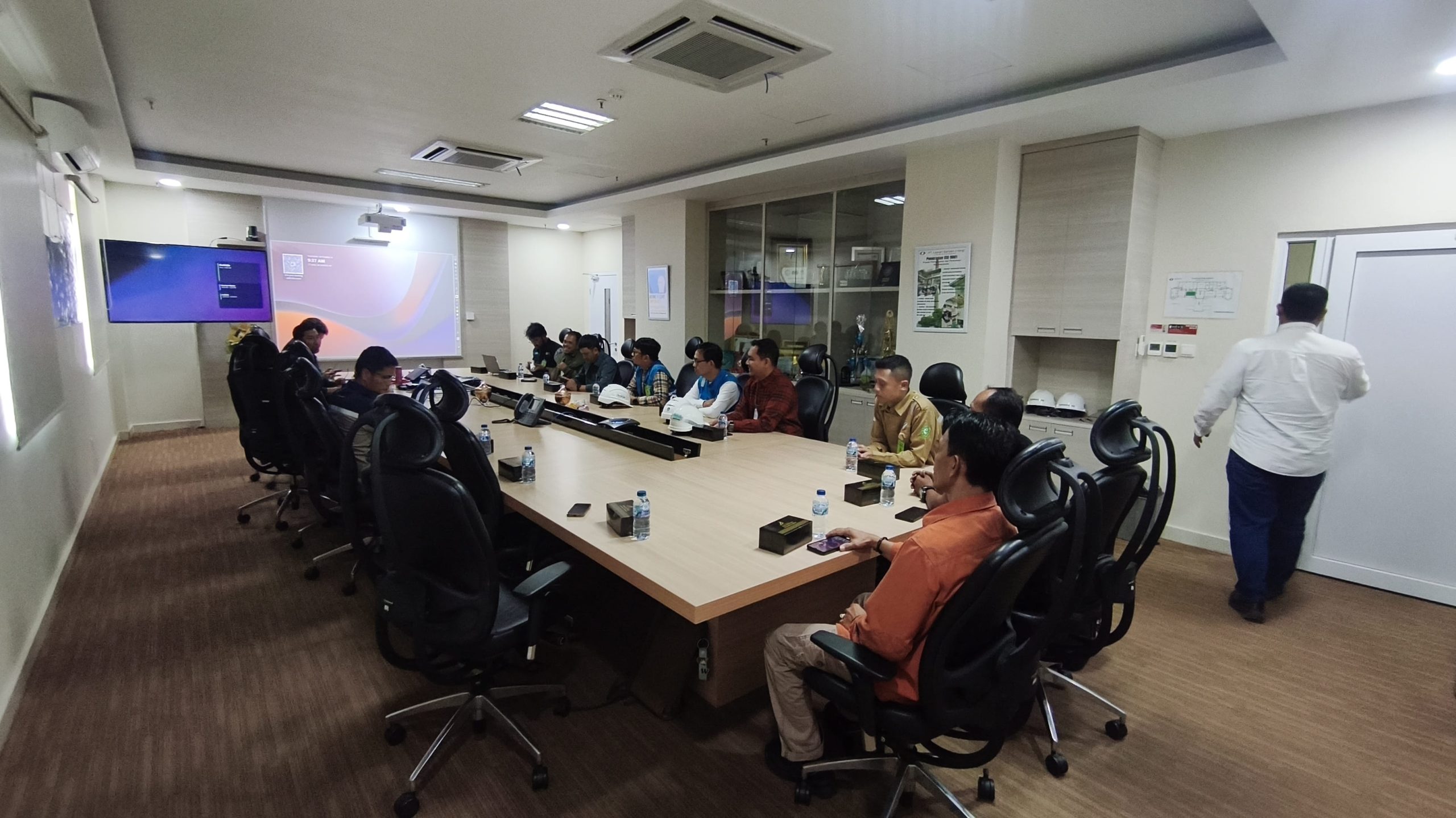
PT Seanav Maritim Indonesia recently supported Digiko through a comprehensive LiDAR surveying project utilizing the DJI Matrice 400 equipped with the Zenmuse L3 and Trimble R8s GNSS. Conducted across locations including PT Lestari Banten Energi and Ketapang, Lampung in September 2026, this project involved advanced aerial LiDAR and GNSS technologies to support accurate and efficient spatial data acquisition. The integration of the DJI Matrice 400, Zenmuse L3, and Trimble R8s provided a robust, integrated solution for both aerial surveying and precise ground positioning.
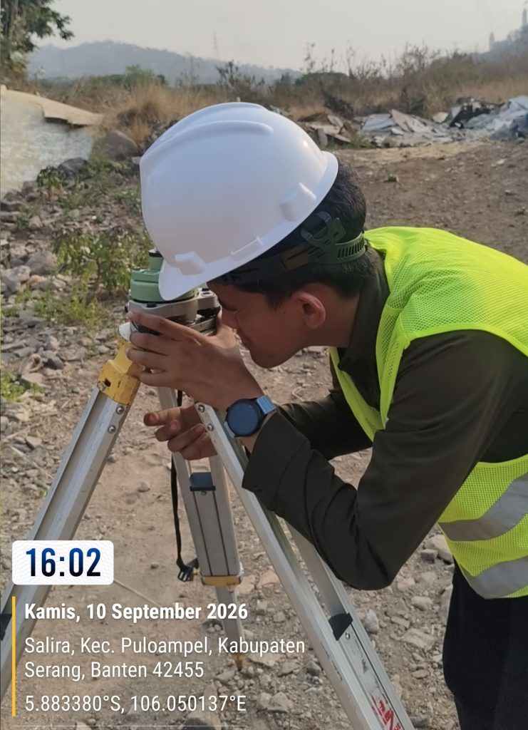
During the field execution, the Seanav technical team managed complex operations ranging from UAV preparation and LiDAR data acquisition using the DJI Matrice 400 and Zenmuse L3, to GNSS measurements using the Trimble R8s to ensure reliable positioning and survey control. The deployment leveraged top-tier equipment, combining the aerial LiDAR platform for efficient 3D data capture with high-precision positioning tools required for professional field requirements.
The key highlights of this project included:
- UAV LiDAR surveying
- DJI Matrice 400 operation
- Zenmuse L3 LiDAR data acquisition
- Trimble R8s GNSS measurement
- Integrated aerial and ground surveying
- Professional technical support from Seanav
The project successfully generated high-quality LiDAR and GNSS field data, providing a solid foundation for further data processing, analysis, and spatial mapping according to project specifications. Through the seamless integration of UAV LiDAR and high-precision GNSS technology, PT Seanav Maritim Indonesia continues to support clients in acquiring reliable spatial data for professional surveying and mapping applications.
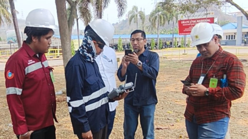

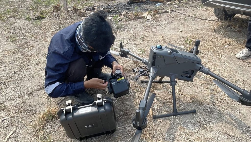
GOOD JOB TEAM! Hopefully, this successful collaboration marks another milestone in delivering top notch geospatial and surveying solutions!!